
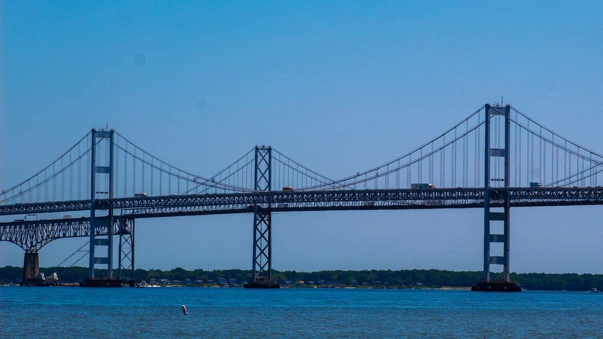
The Chesapeake Bay Bridge is the quickest way to cross the middle of the bay by road, and one of Maryland’s best-known landmarks. Officially named the Gov. William Preston Lane Jr. Memorial Bridge, it links the state’s Western Shore with the Eastern Shore.
What is the Chesapeake Bay Bridge?
It is a bridge over the Chesapeake Bay between Sandy Point State Park, near Annapolis, and Stevensville on the Eastern Shore. It connects the state’s urban and suburban Western Shore with the more rural Eastern Shore, which is why it is a familiar route for commuters, beach-bound travelers and freight alike.
When did it open and how long is it?
The bridge opened on July 30, 1952. The original span measures 4.3 miles from shore to shore. At the time, it was described as the world’s longest continuous steel structure over water. A parallel span was added in 1973, so the crossing now has two bridges side by side.
Quick facts
| Detail | Fact |
|---|---|
| Official name | Gov. William Preston Lane Jr. Memorial Bridge |
| Original opening | July 30, 1952 |
| Length of original span | 4.3 miles |
| Parallel span added | 1973 |
| Western end | Near Sandy Point State Park, by Annapolis |
| Eastern end | Stevensville |
Why does the bridge matter to Maryland?
Before the bridge, getting from one side of the bay to the other was a far slower journey. The span tied the Eastern Shore’s towns, farms and beaches to the cities and suburbs of the Western Shore, and it remains a central route in the state’s road network.
How is it connected to Annapolis?
The western end is close to Annapolis, Maryland’s capital. Visitors to the capital often continue across the bay, and the city is also the home of the legislature described in our explainer on how the Maryland General Assembly works. The nearby Maryland State House is another landmark in the same area.
Planning a trip
Travelers should check current traffic conditions and any toll or lane information from the Maryland Transportation Authority before setting out, since conditions and rates change. The agency publishes up-to-date notices for the bridge.
This article is a general explainer based on published histories of the bridge. Details such as traffic arrangements and tolls change, so confirm them with the Maryland Transportation Authority.
Photo: Mary Oakey on Unsplash.
Sources: Maryland Manual On-Line; Transportation History; Wikipedia